West Virginia Well Contamination Map
Known PFAS, chemical, coal-mining, and groundwater contamination sites — sourced from EPA, WV DEP, ATSDR, EWG & USGS public records
Filter by Risk Level
Contamination Sites (18)
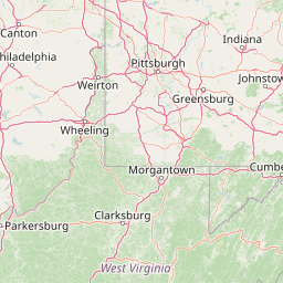
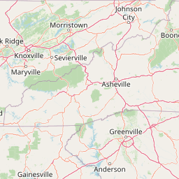
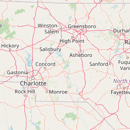
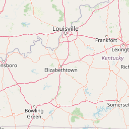
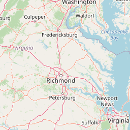
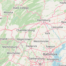
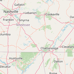
Map Legend
Official Data Sources
Contamination data compiled from verified government, academic, and nonprofit public records. All links below are primary sources.
EPA Safe Water Information System (SDWIS)
EPA database of public water systems, violations, and compliance data for West Virginia
EPA ECHO — WV Facilities
EPA enforcement and compliance history for regulated facilities near WV water sources
WV DEP — Office of Water Resources
Official WV Dept of Environmental Protection water well data, permits, and contamination reports
WV DEP — Well Completion Reports
Registered water well completion logs submitted by licensed WV drillers
WV Source Water Assessment
Source Water Assessment & Protection Program data for public water systems
ATSDR C8 Science Panel
Agency for Toxic Substances — Mid-Ohio Valley C8 (PFOA) health study
WVDHHR Drinking Water
WV Dept of Health & Human Resources drinking water advisories and private well guidance
EWG PFAS Contamination Map
Environmental Working Group national PFAS contamination tracker
USGS Groundwater Data for WV
Real-time groundwater level monitoring stations across West Virginia
EPA Superfund Sites — WV
EPA Superfund and contaminated site listings in West Virginia
Data Disclaimer: Contamination levels shown reflect publicly documented peak measurements from official government sources. Actual current levels may differ. This map is for informational and advocacy purposes. For health decisions, consult your county health department or WVDHHR. Private well owners are strongly encouraged to test annually — contact WVDHHR Drinking Water guidance for certified labs.